![Maes Knoll (boundary) [Dundry Hill East]](https://cdn.walkmates.com/hill-photos/hill-placeholder.jpg)
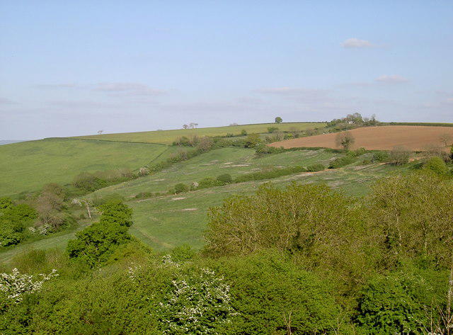
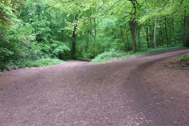
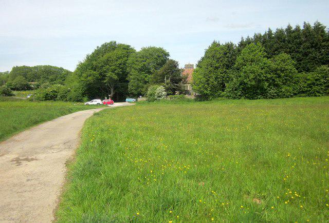
Countryside
Circular
Medium
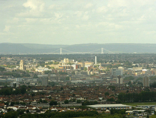
Ashton Court Circular with Quarry
PaulWalkmates
Walk organiser
![Maes Knoll (boundary) [Dundry Hill East] location map](https://cdn.walkmates.com/hill-maps/maes-knoll-(boundary)-[dundry-hill-east].png)
No comments yet. Be the first.